Fil:Blank map of the world (Robinson projection) (10E).svg
Hopp til navigering
Hopp til søk

Størrelse for denne PNG-forhåndsvisningen av denne SVG-filen: 800 × 413 piksler Andre oppløsninger: 320 × 165 piksler | 640 × 330 piksler | 1 024 × 529 piksler | 1 280 × 661 piksler | 2 560 × 1 321 piksler | 3 100 × 1 600 piksler.
Opprinnelig fil (SVG-fil, standardstørrelse 3 100 × 1 600 piksler, filstørrelse: 1,33 MB)
_(10E).svg)

|
Denne filen er nå foreldet og erstattet av File:BlankMap-World.svg. Vær vennlig og bruk den andre filen. NB: Denne filen vil ikke bli slettet med mindre den uttrykkelig blir nominert til sletting. Årsak: Due to a lot of finer detail being regularly updated, it is recommended to use the original file. If a colored version is indeed needed, please take your time update this file from the latest version of the original – it is a fairly trivial exercise that can be done in a couple minutes using a text editor.
|
Any autoconfirmed user can overwrite this file from the same source. Please ensure that overwrites comply with the guideline.
Beskrivelse
| Beskrivelse |
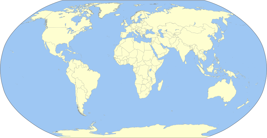
English: A detailed Robinson-projection SVG blank political map with grouping enabled to connect all non-contiguous parts of a country's territory for easy colouring. Smaller countries can also be represented by larger circles to show their data easier. A thorough description of use and other instructions relating to can be found on the instruction page. |
||
| Dato | |||
| Kilde | Own work based on: BlankMap-World.svg fra Canuckguy | ||
| Opphavsperson | Milenioscuro | ||
| Andre versjoner | Derivative works of this file: Corrientes-oceanicas.svg | ||
| SVG utvikling | Denne vektorgrafikken ble laget med Inkscape.
|
Lisensiering
Jeg, rettighetsinnehaver av dette arbeidet, publiserer det herved under følgende lisens:
| Jeg, opphavsrettensholderen til dette verket, frigir dette verket til allmennheten. Dette gjelder på verdensbasis. I enkelte land kan dette være juridisk umulig. I så fall: Jeg gir hvem som helst retten til å bruke dette verket for ethvert formål, uten noen vilkår, med mindre slike vilkår kreves ved lov. |
Orginal opplastningslogg
This image is a derivative work of the following images:
- BlankMap-World.svg licensed with PD-self
Uploaded with derivativeFX
Filhistorikk
Klikk på et tidspunkt for å vise filen slik den var på det tidspunktet.
| Dato/klokkeslett | Miniatyrbilde | Dimensjoner | Bruker | Kommentar | |
|---|---|---|---|---|---|
| nåværende | 5. feb. 2025 kl. 18:25 | | 3 100 × 1 600 (1,33 MB) | wikimediacommons>Mastersun25 | update Karabakh |
Filbruk
Den følgende siden bruker denne filen:
_(10E).svg)